A land reclaimed from the sea… The Aa Delta Polder.

The origins of the polder: a land shaped by water and people
The Aa delta polder, the largest inhabited polder in France, is the result of nature’s patience and a millennium of human ingenuity. More than 450,000 years ago, an isthmus connected Flanders to England. But geological movements and powerful tides eventually broke the isthmus and created the Strait of Dover (Pas-de-Calais), exposing the land to the ocean’s assaults. Little by little, the sea deposited materials, forming dunes and coastal strips. At the end of the Quaternary period, the Aa delta was a vast vegetated swamp, crossed by a newly formed river: the Aa.


Human history begins with the Morini, people of the marshes, living in lacustrine cities within a saline environment. Climate crises, rising waters, and then gradual drying out shaped a fragile but fertile territory.

A thousand years of drainage: from the Wateringues to the industrial era
As early as the 7th century, Benedictine monks initiated the first drainage ditches. This was the beginning of the conquest of land from the sea. From the 12th century, under the impetus of Count Philip of Alsace, a unique organization in France was born: the Wateringues. This administrative system distributed drainage zones between abbeys and local leaders, in charge of digging ditches, raising dikes, setting taxes, and coordinating works. It was a revolution in water management.
Over the centuries, great builders—John the Fearless, Vauban, or the Flemish engineer Cobergher (17th century)—perfected the hydraulic network. Despite wars, storms, and strategic floodings, the institution of the Wateringues persisted until the Revolution. Abolished, it was reinstated by Napoleon I, and the 19th century saw the continued maintenance of this vital network.
In 1977, an interdepartmental Institution modernized this management. In 2022, it became intercommunal, bringing together elected officials, inter-municipalities, and users to maintain this vast habitable plain.

A unique territory below sea level: the polder today

The Aa Delta Polder
The Aa delta polder covers 100,000 hectares below mean sea level. Today it is home to 450,000 inhabitants, three major urban centers, and two ports of international importance: Calais, the leading French passenger port, and Dunkirk, a major industrial-port site. This artificially drained territory must now face two threats: marine invasions and floods from the internal hydrographic network. Its low and flat topography makes it a space as fertile as it is vulnerable. Water management is therefore a daily, structured, and collective affair, in order to keep these lands safe from water.
How the Wateringues work: a strategic hydraulic network
The Wateringues system relies on precise regulation of water levels. At low tide, the waters of the Aa watershed flow naturally towards the sea via gates in Calais, Gravelines, and Dunkirk. At high tide, these gates close to prevent marine intrusion, and freshwater is stored in the canals. In case of heavy rains, pumping stations take over to evacuate excess water. This hydraulic network combines gravity flow, mechanical structures, and territorial solidarity. Thanks to this system unique in France, the territory remains protected, cultivable, and accessible.

The Community of Communes of the Audruicq Region (CCRA)
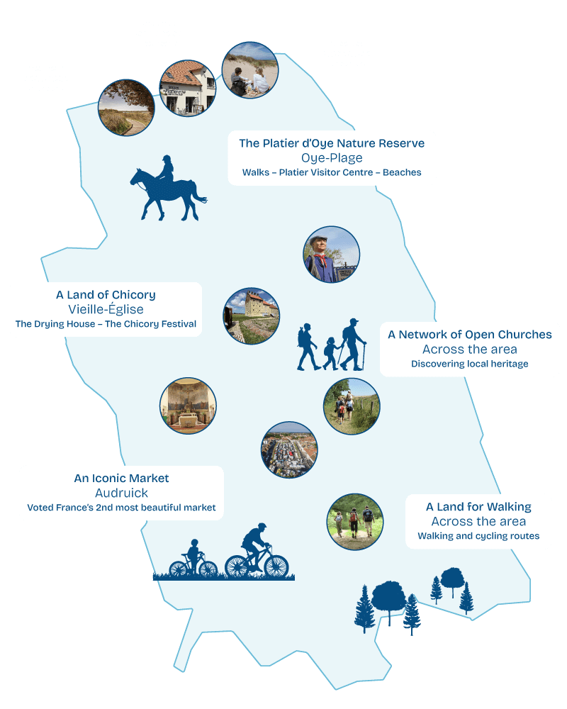
The CCRA, composed of 15 municipalities between the sea and the Hem valley, is at the heart of this territory shaped by water. This landscape of plains, canals, dunes, and wooded hills offers an exceptional natural and heritage mosaic. The Aa flows through this gently sloping territory before emptying into the sea, while the Hem, with its lively waters, comes from the Pays de Licques. Classified as a Biosphere Reserve by UNESCO, this region is also home to a rich agricultural past, marked by chicory cultivation—still alive in Vieille-Église. History, biodiversity, traditions, and hydrological resilience make this territory a model of adaptation between land and sea.
Permanent exhibition: “Living with Water”
Maison du Platier d’Oye, Route des dunes, 62215 Oye-Plage
Free entry.
Open from April to September.